Lands and Resources Community Mapping
North Spirit Lake, Deer Lake, Fort Severn, Polar Hill, McDowell Lake and Keewaywin First Nations are facilitating a lands and resources training & planning project with Keewaytinook Okimakanak. The project is funded by the Ministry of Aboriginal Affairs (MAA) and includes partnerships with other Ministries (MNR, MTCU, MTCU, MNDM, MOE), has established Lands & Resources Offices with Community Planners & Technicians in each community. The Lands Office is directed by the leadership to identify community priorities, conduct planning, work with extrenal partners and collect information that the leadership needs to make informed decisions. KO supports training initiatives and coodinates peer support to build capacity among First Nations to identify priorities and conduct planning with respect to lands and resources. KO seeks partnerships in order to provide the Lands Offices with additional resources and training to coordinate community events to reunite youth with the land and strenghten the language, culture and heritage of future generations.
|
|
| Deer Lake Family Mapping |
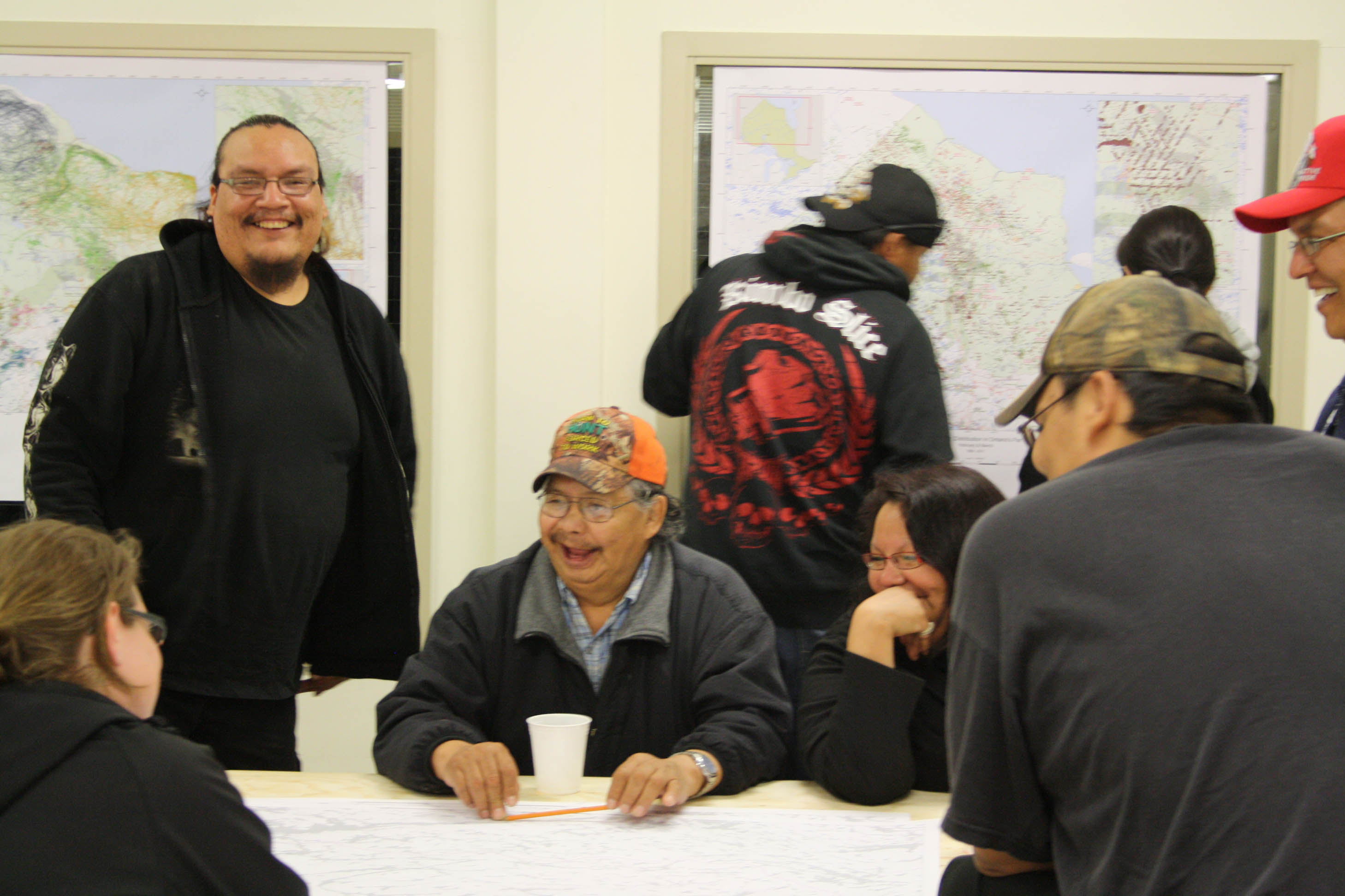
Community events and cultural activities are enabling communities to gather stories, maps, history, heritage, wildlife habitat and other topics of interest. Youth are being involved through school outings, art contest and cultural teachings with Elders. Video cameras and recorders will be used to preserve Elder stories for future generations. Digital maps will be made and stored by First Nation controlled K-Net database.
The project objectives are to build capacity, gather tools and resources to prepare for meetings with government, learn from neighboring communities, and record & pursue your community's lands and resources priorities.
![]()
Copyright © 2012 Keewaytinook Okimakanak. All rights reserved.